
There’s a great project, started last year by Andy Broomfield, called Breathing London. It takes the data from air quality monitoring stations across London, and tweets their changes in human readable language, like this:
http://twitter.com/#!/breathinglondon/status/23706759361200129
It frequently pops up on my radar, as there is a monitoring station on the border of Blackheath & Greenwich.
You can see graphs of the air quality across London as a whole on the London Air Quality Network site, but it is also possible to drill-down to specific monitoring stations, and look at the air pollution for the last week, or last month.
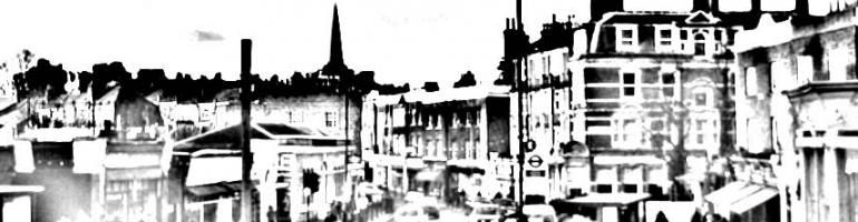
Here’s the data for the station in Blackheath. The actual location of the station is here (see the photo above from Google Streetview).
You can follow BreathingLondon on Twitter, and there’s a detailed explanation of how the air pollution monitoring works here.
The summary for Blackheath says that last year the area was within government targets for air quality, except for Nitrogen Dioxide, which was at 60 microgrammes (µg) per cubic metre. According to the London Air Quality Network site:
At very high levels, nitrogen dioxide gas irritates and inflames the airways of the lungs. This irritation causes a worsening of symptoms of those with lung or respiratory diseases.
From the City of London Air Quality Strategy 2011-2015 pdf:
At present there are two health based objectives that have been set for nitrogen dioxide. The first is to make sure hourly concentrations do not go above 200µg/m3, for more than 18 hours in any year. The second objective is to ensure that the annual average is no greater than 40µg/ m3.


 Licensed under a

